
Directions to YEAR 1 of 1000 Year Theatre:
Look, google maps won’t help you so pay attention. There are no real signs up there. Just odd pieces of flagging tape that don’t indicate anything useful. Finding this site is mostly about ignoring tempting side roads. Start at the Gumboot. They have the best muffins. Go uphill on Roberts Creek Road until you hit the light. Turn right. After Cliff Gilker Park entrance look for the B & K road on your left, Googlemaps calls it Largo Road. There is a white sign for Sunshine Coast Equestrian there, and a plastic flower altar. Drive up the B&K/Largo Road you will see parking lots at the powerlines. Continue. Drive past the powerlines and you’ll see the KM 1 marker. Continue! You’ll pass the Provincial Park Boundary and then the KM 2 marker. You’ll pass the Roberts Creek Forest Service Road. Ignore it. Don’t turn left. You’ll see a sign for Mt. Elphinstone. Go straight past it. You’ll see another provincial park boundary sign. Keep going. The road is rising. Pass KM 3, KM 4. Pass Sechelt-Roberts Creek Service Road. Don’t take that. Continue left up the road. Don’t take the next two spurs up to the right. They are deactivated. There’s a sign to Secret Guys Gultch Forest Service Road. Don’t take that either. Continue to KM 6, KM 7. There’s an option to go left, but don’t do it. There’s another spur cutting up the trail. Ignore this too – it’s just for sledding. Pass KM 8. There’s a big curve, the road starts coming down. Stay left. Don’t take tempting right turns towards Dakota Bear Sanctuary. You’ll cross a bridge and pass a big clearcut on your left, with huge stumps. Continue. Our site is the very next opening on the left. You will see the sign on the road with luck. You may turn left and park there. You’ll see a big snarl of stumps at the top and a crater of charred ground. This is the spot. Follow the signs on the circular trail. Bring water and wear good footwear.
Directions to YEAR 7 coming from Year 1 forest:
Backtrack over the bridge and curve up the road. Climb that nutty switchback. You’ll see the KM 8 sign. Ignore the big snakey road that goes up the hill. You’ll see the KM 7, KM 6, KM 5 signs.KM 4, KM 3. Slow down. Park on your left at the Mt. Elfinstone Forest Boundary. There is a weird white eagle sign on a tree at that parking lot.
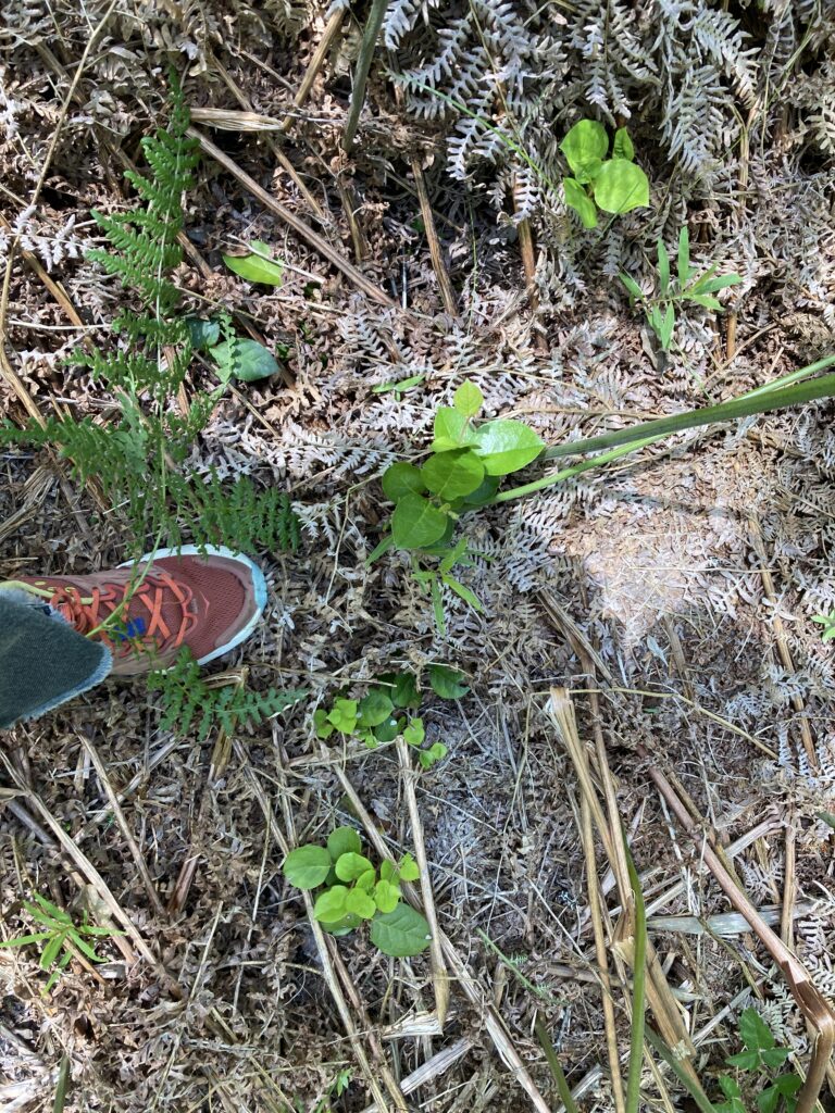
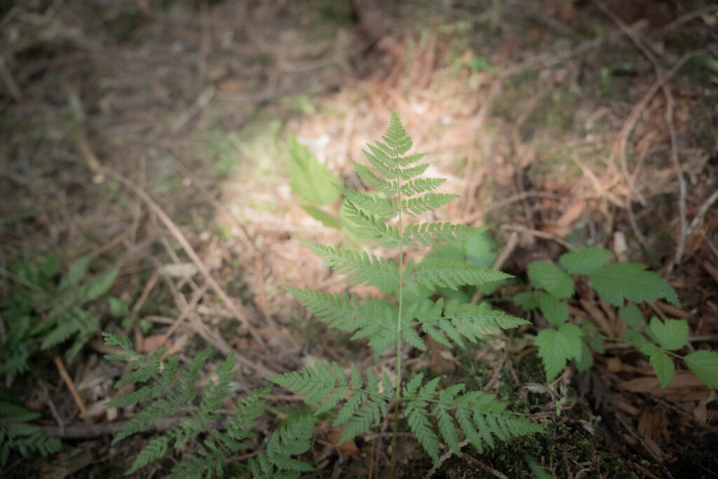
Cross over the road from the parking lot and head up old rutted logging road. It is about a 15 minute walk sticking to the right. You will pass the entrance to the Health Trail on the left which you should definitely do another time. Keep going. Where the forests are open, and diverse, and have ferns and moss and undergrowth you are passing through natural forests. Keep going. Where the forests are dense and uniform with no undergrowth you are passing through tree farms. Keep going. The farmed forest pops you out into the cut. There are trees here, but they’re much smaller. You’ll know the difference. This is the Year 7 forest,( it was clearcut 7 years ago) This was the Twist and Shout Forest. You will see a few mother trees left that are mature, taller trees. As you approach them you will see a big sign on the right side of the road that says Cedar Window. Turn down that trail and you will find the piece within about 20 paces. If you continue up the road you’ll find yourself in another dense forest — you’ve gone too far.
Directions to YEAR 25 from Year 7:
Pull out of the parking lot with the weird white eagle sign and head downhill just a little ways. Take a sharp right the first chance you get onto Roberts Flume Service Road (Roberts FSR). The sign was recently stolen, sigh. You’ll cross a small concrete bridge, then KM 1. Stay right. Pass KM2. There’s an elbow in the road and then a yellow gate on the right, blocking a steeper section of logging road. Park there and start walking up this road. About 6 minutes up this road, you will pass ‘Wagon trail” on the right. Keep going. Soon you will pass the other half of the Wagon Trail, to your left. Eventually, you will come to a semi-circular clearing, off the left side of the trail. This leads into mostly year 25 forest, very dense. Look for the sign for Ephemeral Streams a little way up the main road from there on your right. There are two parts of this piece, the entrance part which goes to the right beyond the big sign, and the exit part that goes off to the left. You will actually pass the exit part first as you walk up the road. There is an ephemeral stream and beautiful natural forest where the entrance sign is. If you come back down the same trail, you will see the old Peace Camp to your left. The Peace Camp was part of the efforts to save this forest 25 years ago. Look for two pink tags that indicate a path to a small clearing with rocks and stumps that would have held up a stage for the Peace Campers to perform music on. Someone should hold a concert here. There is another path off to the left to a nice mossy camping site. Come back another time and camp there.